


Construction Planning & Montoring
Utilize live streaming and storage of video feeds and analyze in real-time to generate the business intelligence you need.
The application enables the visualization and the computation of images, orthophotos, and 3D data, the processing of AI driven applications in order to increase the performance and safety on haul roads, while reducing associated costs and CO2 emissions.
Alteia’s innovative AI techniques allow you to improve haul road analysis by constantly checking conditions at a quarry or a mine site. This level of insight will enable you to take actions that enhance your employees’ safety and increase efficiency and productivity, while reducing your CO2 emissions and meeting your environmental goals.
Alteia’s application uses geospatial data contained in surveys to extract the geometry of haul roads, road boundaries, crests, and other properties. Display and interact with these locations on an intuitive user interface in a no-code environment to collaborate and measure as needed.
High-value Workflows
Share data across your organization.
Learn more
Share data across your organization.
Learn more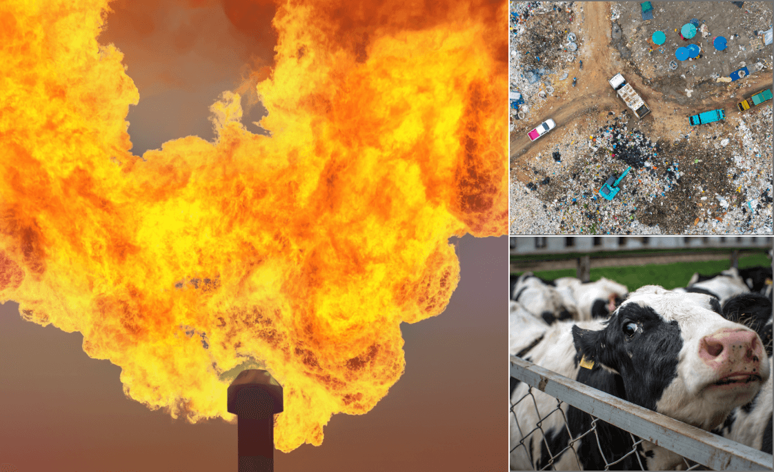

Share data across your organization.
Learn more Share data across your organization.
Technical Features
Share data across your organization.
Share data across your organization.
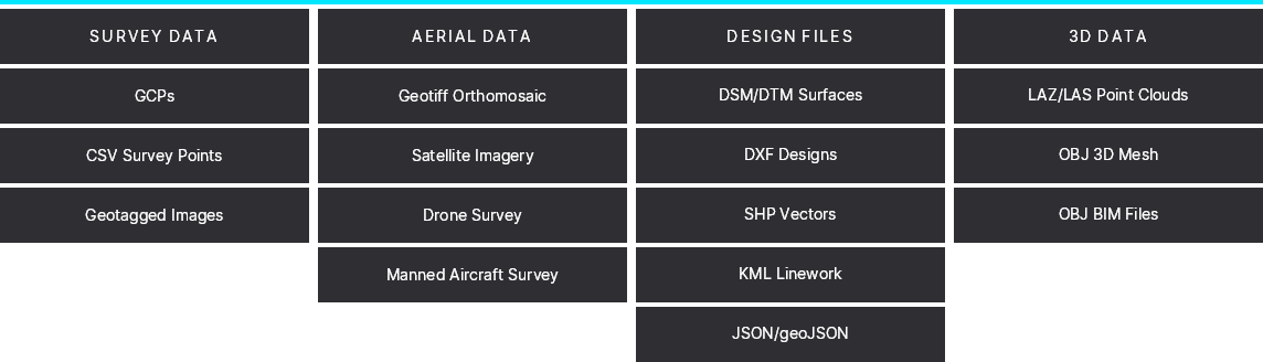
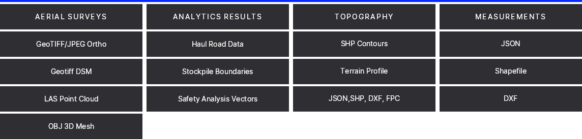
Import and Export formats
Vision
Databases
Pricing
Active Users
Price/year
What is included
- Up to 10 seats
- APIs for output integration only
- Pay per use for photogrammetry
- Pay per use for analytics run
- Online community and training
What is not included
- Level 1 analytics integration
- Custom application
- Development
- Access to SDK and APIs
- Dedicated account managemet
- Premium support
Industries
This Alteia application already helps these industries.
-
 Forestry

Make your own applications
Sign up for a Free Demo.
For use-cases specific to your activities, develop your own applications or have our experienced developers and data science team do it for you.